Like Eyjafjallajökull before it, the Icelandic volcano Grímsvötn delayed air traffic across Europe in May 2011. During its eruption, scientists used GPS equipment to monitor the deformation of the ground on its slopes. In a new paper, they describe how this deformation corresponds to the height of the ash plume ejected, and could be used in short-term predictions of eruption timing and severity.
Original research article published in Nature Geoscience on January 12, 2014
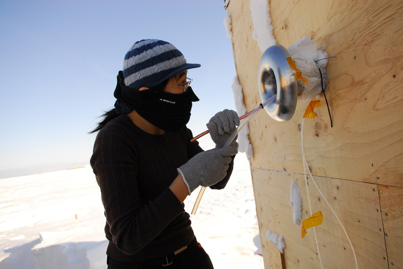
Names and affiliations of selected authors:
Sigrún Hreinsdóttir, University of Iceland, Reykjavik, Iceland